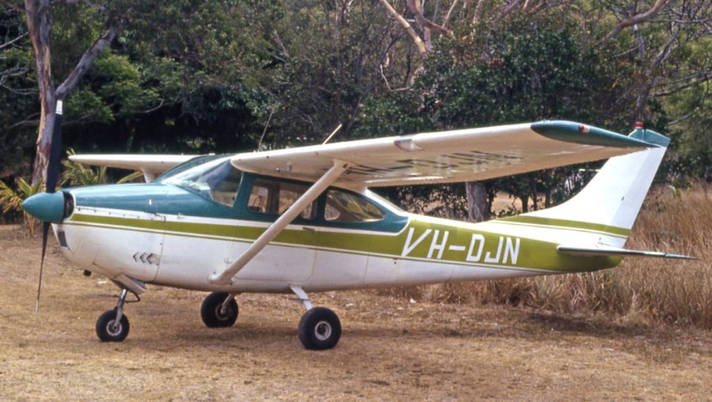
 Low cloud and bad visibility were the key factors in a Cessna 182 crashing into a tree canopy on a Queensland mountain last year, killing its pilot, an ATSB report has concluded.
The unnamed 73-year-old pilot was flying 400 feet above the highest terrain in the area, but likely not above clouds, before it descended and crashed 3,800 feet up the Herberton Range.
The investigation concluded it wasn’t known whether the pilot dipped to get under the clouds, having lost visual references, or due to disorientation. It also found the pilot had taken medication that had the potential to affect performance but didn’t disclose this to the appropriate authorities. It’s not known whether this was a contributing factor.
ATSB director transport safety Dr Stuart Godley said, “This tragic accident highlights that any pilot, no matter their level of experience, is at risk of experiencing disorientation and a loss of spatial awareness due to reduced visual cues if pressing on into instrument meteorological conditions (IMC) without a current instrument rating and in a suitably-equipped aircraft.”
The Cessna 182, VH-DJN, departed Mount Garnet in far north Queensland on 8 April 2019 for a 20-minute flight under visual flight rules (VFR) to Atherton, with the pilot the sole occupant.
The forecast weather flight included low cloud extending to the ground in areas of higher terrain, and low visibility in cloud and showers of rain.
As the aircraft approached the Herberton Range, it climbed to an altitude about 400 feet higher than the highest terrain in the area, but this was very likely not above the cloud tops, the investigation noted.
It could not be known whether the pilot then descended in an attempt to get under the cloud, having lost visual reference with the ground, or due to geographical disorientation, having assessed the aircraft was beyond the range and closer to Atherton.
The aircraft crashed into the tree canopy at 3,774 feet, and the unnamed pilot died, leaving a 130-metre-long wreckage trail.
“Changes in track were consistent with what would be expected if attempting to avoid weather,” said Dr Godley.
“Low cloud and reduced visibility obscured rising terrain, and this almost certainly resulted in the pilot losing visual reference with the ground and the aircraft colliding with terrain in level flight, and under power and pilot control.”


