A QantasLink Fokker 100 running out of fuel was forced to land through “very low” cloud after three previous attempts to touch down failed.
The ATSB revealed how the aircraft was flying from Perth to the mining town of Paraburdo in WA when it encountered unforecast bad weather and didn’t have enough in the tank to divert to another airport.
This content is available exclusively to Australian Aviation members.
A monthly membership is only $5.99 or save with our annual plans.
- Australian Aviation quarterly print & digital magazines
- Access to In Focus reports every month on our website
- Unlimited access to all Australian Aviation digital content
- Access to the Australian Aviation app
- Australian Aviation quarterly print & digital magazines
- Access to In Focus reports every month on our website
- Access to our Behind the Lens photo galleries and other exclusive content
- Daily news updates via our email bulletin
Despite landing safely, the investigation revealed it took air traffic control 15 minutes to provide a weather forecast for an alternate airport to land at – a crucial delay that made a diversion impossible.
On approach, the pilot said he believed he saw some patches of cloud at just 250-300 ft above ground level or about the height of NSW’s iconic Sydney Tower.
The ATSB’s transport safety director, Dr Stuart Godley, said the incident highlights the importance for all operators to consider how unforecast weather will be managed.
“This is so that safety assurance activities can review how effectively it is managed and provide feedback for management review,” he said.
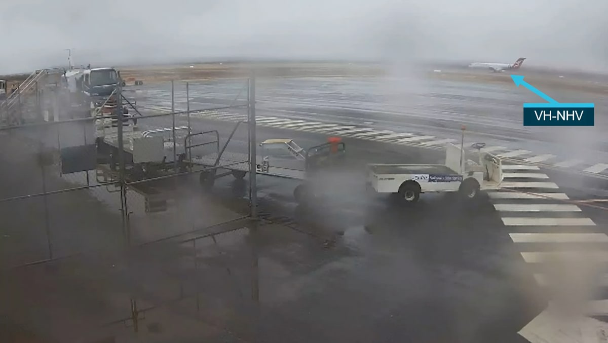
The full investigation details how VH-NHV, operated by Qantas Group subsidiary Network Aviation, was conducting a scheduled passenger flight from the WA capital on 22 November 2021 when it encountered the low cloud.
“Having completed two missed approaches at Paraburdoo, the flight crew had lost confidence in their flight plan weather forecasts and were reluctant to attempt a diversion to an alternate airport without current weather information for the alternate,” said Dr Godley.

The flight crew conducted a RNAV GNSS approach to Paraburdoo’s runway 24, which required the crew to visually acquire the runway – the minimum descent altitude or MDA – at a height above the aerodrome of no less than 584 ft.
The investigation report details that 25 seconds after the aircraft descended through the minima, the autopilot was disconnected, and the pilot monitoring announced that they had sighted the runway and that they were on profile. At this stage, the aircraft was 293 ft above ground level and 291 feet below the minima/MDA.
Flight data recorder information indicated a steady descent profile on the approach and a maximum of 5° heading change between the autopilot disconnect and landing.
“The actual weather conditions the flight crew encountered at Paraburdoo were below their landing minima and were continuing to deteriorate. The cloud base at Paraburdoo was difficult for the Bureau of Meteorology to forecast as detection of low cloud by satellite imagery was obscured by higher level cloud,” said Dr Godley.
After their second missed approach, the crew attempted to obtain from air traffic control an updated forecast for Newman Airport for a possible diversion there.
“However, the crew did not express any urgency when making this request, which, in combination with air traffic control workload at the time, resulted in a delay of 15 minutes before an update was offered. By that time, it was no longer required as the aircraft no longer had sufficient fuel remaining to divert to Newman.”
The investigation notes that the crew had no other means of obtaining updated weather forecasts for potential alternates beyond contacting air traffic control, as the aircraft was not fitted with an operational ACARS digital datalink messaging system, and the aircraft was beyond the range of the nearest AERIS automatic en route information service (which broadcasts a range of weather information from a network of VHF transmitters).
Meanwhile, there is an automated weather station at Paraburdoo, but it did not have a means of detecting the moisture content in the atmosphere above the surface.
“This increased the risk that low cloud below the instrument approach landing minima might not be forecast.”
Other than a procedure that limited the number of missed approaches to two, Network Aviation did not provide the flight crew with diversion decision-making procedural guidance when encountering unforecast weather at a destination, the investigation found.
In addition, the operator did not include the threat of unforecast weather below landing minima in their controlled flight into terrain risk assessments. This increased the risk that controls required to manage this threat would not be developed, monitored, and reviewed at a management level.
“The ATSB acknowledges and welcomes that, since the incident, Network Aviation has implemented several proactive safety actions in response to safety issues identified in the investigation,” Dr Godley said.
These include introducing several diversion decision-making tools for F100 flight crew, such as an amendment to their flight plans to include an ‘alternate summaries’ section for all flights, the top-of-descent arrival brief procedure to include ‘minimum divert fuel’, and the introduction of an F100 Company Procedures Manual with pre-populated standard divert calculations for F100 destinations.
In addition, the operator has updated their controlled flight into terrain risk assessments to capture the threat of adverse weather.
Want to see more stories from trusted news sources?
Make Australian Aviation a preferred news source on Google.
Click here to add Australian Aviation as a preferred news source.